
| Mask | Data File | Fields | Gif Image |
|---|---|---|---|
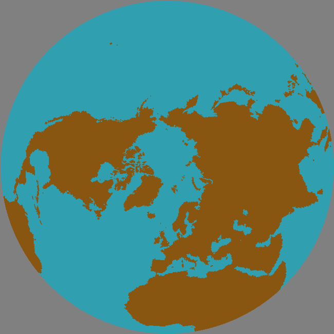
| Land/Ocean | land59.ease.asc | Land59.txt | Land59.gif |
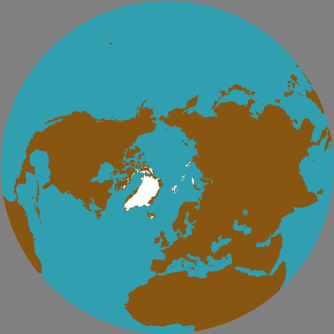
| Ice | ice59.ease.asc | Ice59.txt | Ice59.gif |
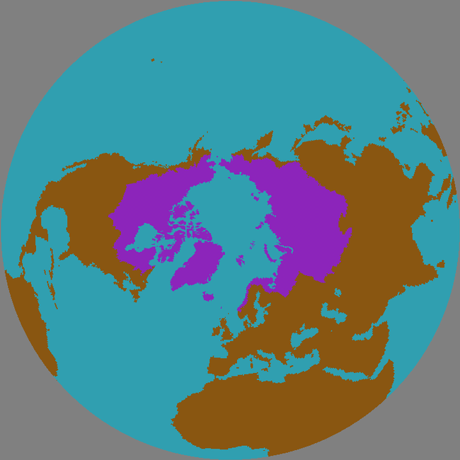
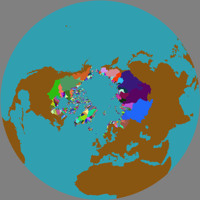
| Pan-Arctic | arctic59.ease.asc | Arctic59.txt | Arctic59.gif |
| Sea Basins | sea59.ease.asc | Sea59.txt | Sea59.gif |
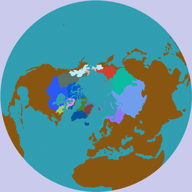
| Drainage Basins | basin59.ease.asc | Basin59.txt | Basin59.gif |
| NSIDC Land/Ocean | nlmask.ease.asc | NLMASK.txt | NLmask.gif |
| ID | id.ease.asc | ||
| Col.Row | cr.ease.asc | ||
| Longitude | longf.ease.asc | ||
| Latitude | latf.ease.asc | ||
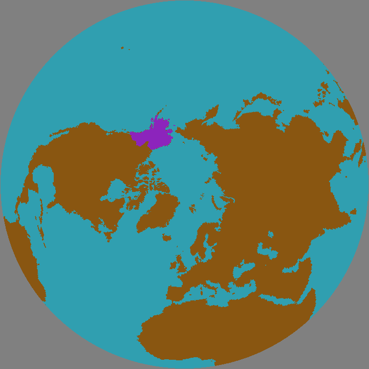
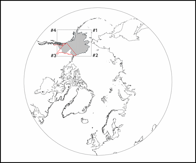
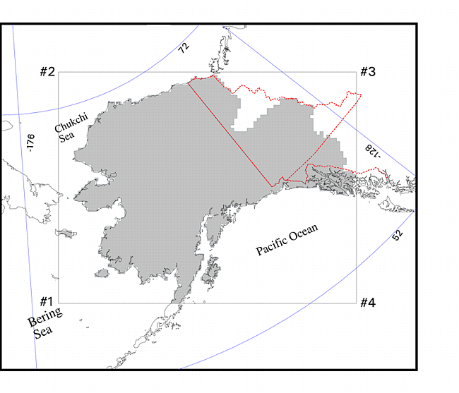
| Alaska-Yukon | Alaska-Yukon.asc | Alaska-Yukon | Alaska-Yukon.gif Domain gif Domain close-up gif |
| All data | all_data.tar.gz |