-
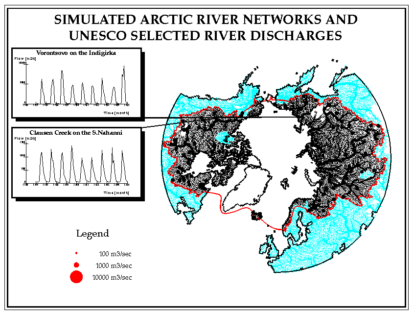
Figure 1. The drainage network of the pan-arctic watershed.
- The contemporary climatic mean annual discharge for the rivers entering the Arctic Ocean is indicated graphically by the size of the circle plotted at each river mouth. Discharge was calculated using measured discharge data for monitored rivers combined with water balance model discharge estimates for ungauged basins.